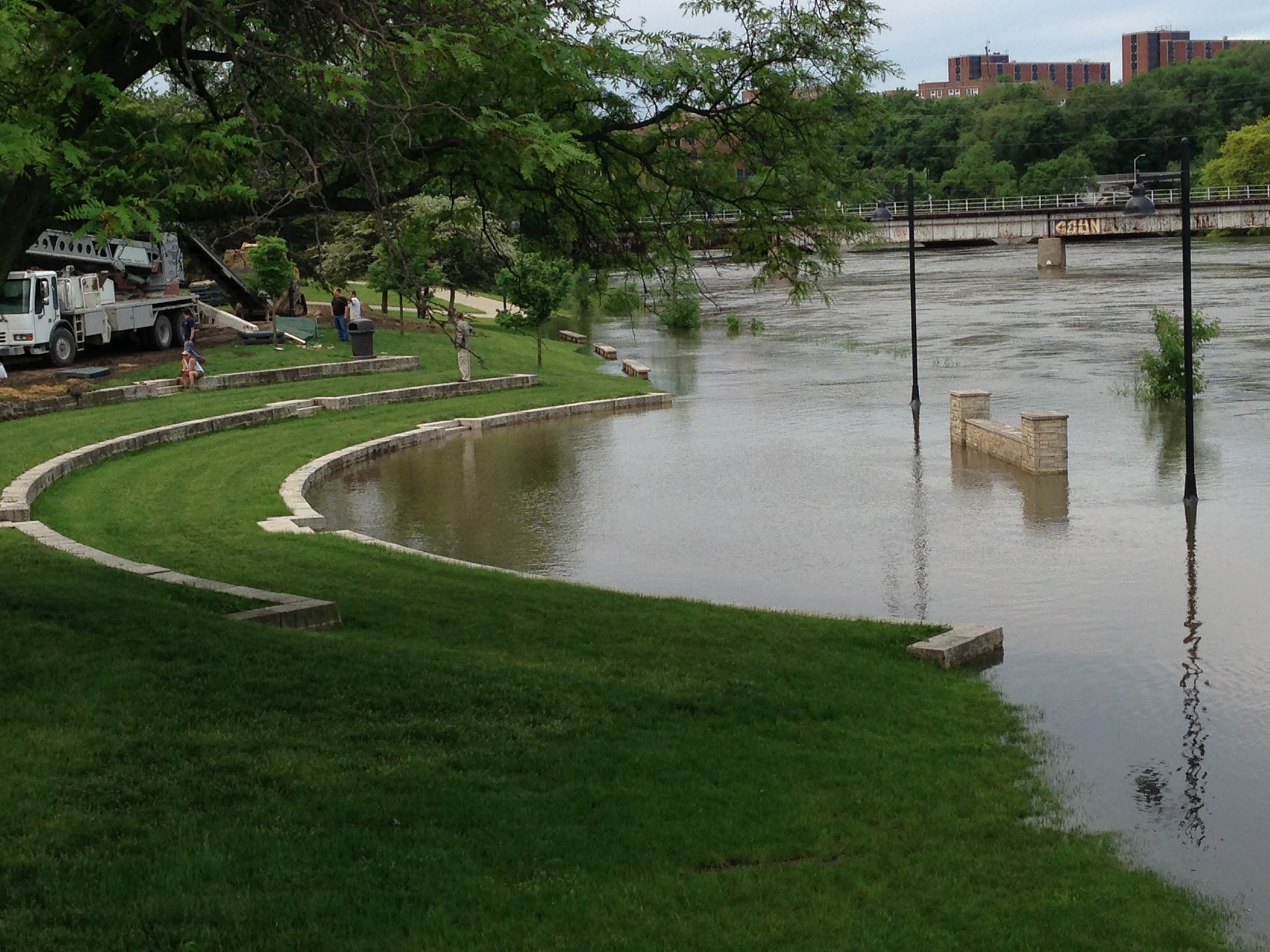
In honor of construction starting soon to replace one of the last University of Iowa buildings damaged by the 2008 floods, we have decided to highlight a history of flood infrastructure investments at the university .
Just one-year shy of a decade since the 2008 floods, the final plans have been approved for a new facility for the University of Iowa Museum of Art. Like Hancher Auditorium, the music school, the library, and the Iowa Memorial Union, among about seventeen other buildings (Connerly et al 2017), the art museum was a significant loss to the university that scattered its 14,000-estimated piece collection to new locations on and off campus.
According to Connerly et al 2017, damages and recovery were estimated to be $743 million and is the highest costing disaster recovery in Iowa. As a public institution located in a floodplain area, it has had a history of flood preparation and response since its inception in 1847. As their article explains, the flooding brought up many critical questions, including: “why did the University construct important new buildings, some of them iconic, within the floodplain?” and how can the university cope with future natural and human-made flooding?
To answer the first question, the university built where they did predominantly because they had few options. The risk of flood also gave the appearance of being manageable at the time and policies for flood mitigation and subsidies were more risky than they appeared to be (Connerly et al 2017). The university started on a small four block area east of the Iowa River. The university and the City of Iowa City grew concurrently causing buildings to be placed closer and closer to the river. In 1905, the university commissioned a master plan by the Olmsted Brothers that included riverfront property, but its use would only be for recreation and parks (Connerly et al 2017). Land acquisition advisement by the Olmsteds was illustrated in the following:
“The Olmsted Brothers emphasized the need to acquire land that would be of value to the University, even if it costs more. They stated, ‘‘the process of acquisition of additional land must evidently go on indefinitely, but some other motives than those of convenience and cheapness should be kept in mind and should often have more weight than those.” (55)
The construction on the floodplain started with the Iowa Memorial Union (IMU) in the 1920s and then grew to include the arts campus. Construction for a fine arts building was originally planned for a site north of the IMU, but an agreement could not be reached for a price. Instead, the campus was developed on acquired land that was a wetland formerly used as a city landfill by the river (Connerly et al 2017).
The wetlands were filled and the buildings were constructed to be above recorded flood level data available at the time and levees were constructed on the river. Later, these efforts included the university’s support of building the Coralville Reservoir by the Army Corps of Engineers, in which the president of the university at that time stated, “the Reservoir will make possible a program for the permanent development of the river front through the University campus” ( Connerly et al 2017, p.58). The campus was growing in two halves on the east and west side of the river. Development in-between would unite the two pieces, especially when considering there were little other places to build.
This culminates in the issue of what Connerly et al (2017) describes as the “safe development paradox.” This term is used to describe the federal support for levees, dams, disaster aid programs, and other assistance that spurred development in the floodplains. By providing a safety net with federal assisted water-related control, recovery, and insurance, federal policy enabled development that came at a cost with the 1993 and 2008 floods.
How can the university cope with natural and human-made flooding for the future?
To answer this question, the university has responded to the 2008 floods by re-purposing or completely rebuilding new facilities that are more resilient to withstanding future flooding using scientific modelling as a tool. The recovery efforts include a multitude of partnerships that choreograph their work around where FEMA compliance and insurance policies reach within each building. The university voluntarily chose to conduct a campus-wide flood mitigation strategy that is in progress. This strategy includes elevated sidewalks, supports for temporary flood walls, building pumping systems, and removable external walls. The university has also rebuilt two buildings away from their original locations. As seen above, these strategies have been tested with the rise in water levels in 2013.
In review, the tumultuous history of flooding infrastructure contains valuable lessons. Resilience, which is at the core of what public infrastructure is trying to achieve, is the ability to spring back from disasters. The university that came out on the other side of the 2008 floods is one that utilizes water research and technology using scientific methods and demonstrates that there is room for improvement in state and federal policies and procedures. As a result, when future flooding occurs, we will all be better able to respond.
Connerly, Charles, Laurian, Lucie, Throgmorton, James. 2017. Planning for Floods at the University of Iowa. Journal of Planning History 16(1): 50-73.


